Aflaj Irrigation Systems: Oman's UNESCO Water Heritage
What is a falaj and why is it UNESCO listed?
A falaj (plural aflaj) is an ancient gravity-fed underground channel that carries water from mountain sources to farms and villages. Oman's 3,000+ aflaj were inscribed on the UNESCO World Heritage List in 2006.
Water, Life, and 3,000 Years of Engineering
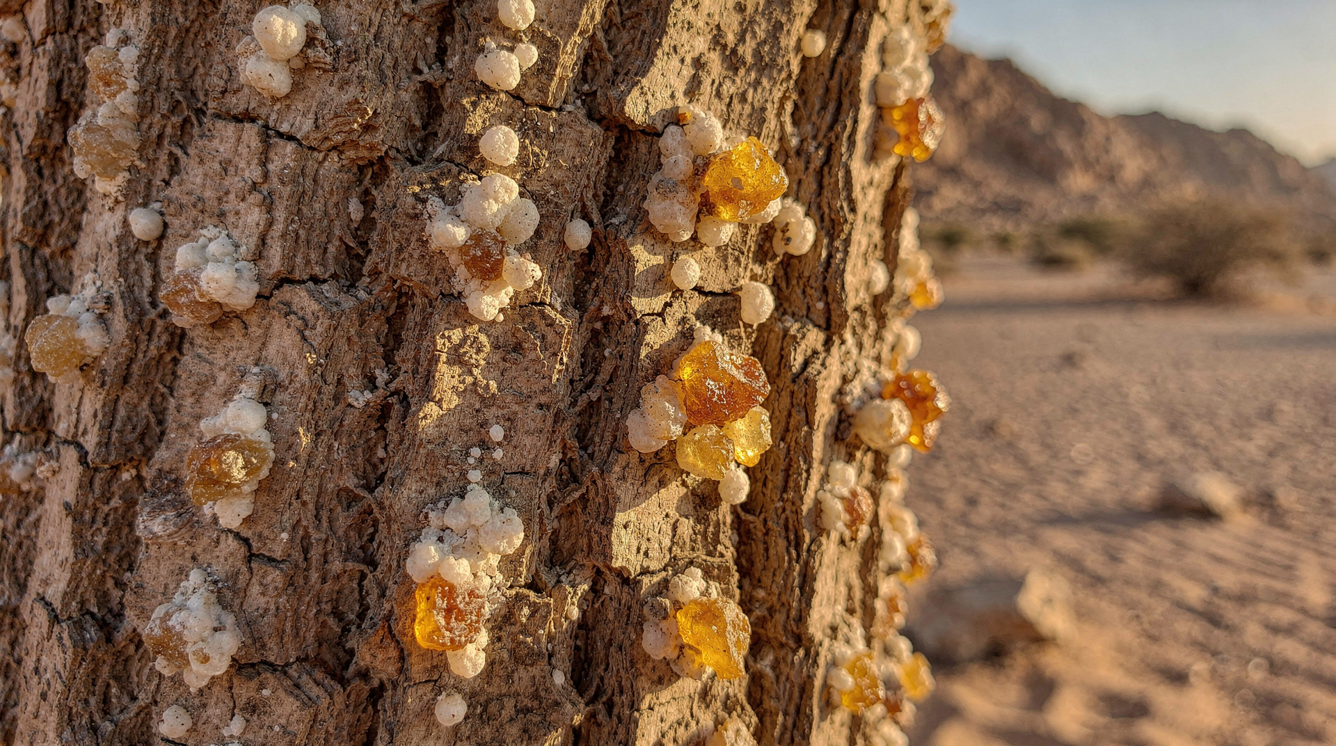
In a country where annual rainfall often measures in single digits of millimetres and where summer temperatures regularly exceed 45 degrees Celsius, water is not merely important — it is the foundation of everything. The civilisations that flourished in the Omani interior, including the ancient trading cities that exported frankincense to Rome and the medieval scholarship centres that attracted students from across the Islamic world, were made possible by a single extraordinary piece of engineering: the falaj.
A falaj (the plural is aflaj) is a gravity-fed channel that collects water from underground sources — mountain aquifers, river gravels, and natural springs — and carries it by gentle gradient across sometimes considerable distances to farming settlements and towns. The system requires no pumping, no external energy input: once constructed correctly, gravity does the work, and the water flows continuously as long as the source holds.
Oman has more than 3,000 documented aflaj, many of them still in active daily use. UNESCO inscribed the Aflaj Irrigation Systems of Oman on the World Heritage List in 2006, recognising their outstanding universal value as living examples of a technology and a social institution that have shaped human life in arid environments for three millennia.
How a Falaj Works
The Engineering Principle
The basic engineering of a falaj is elegantly simple. Water in underground aquifers flows downhill along the water table. By digging a channel that follows this gradient — shallow enough to stay underground where the temperature keeps evaporation low, deep enough to access the water table — ancient engineers could capture the aquifer’s natural flow and redirect it to the surface at a chosen point downhill.
The underground section of a falaj (called the qanat in Persian, the same technology appears across Iran, Afghanistan, North Africa, and parts of Spain as historic Islamic practice spread the technique) is typically accessed via a series of vertical shafts dug at regular intervals — 20 to 50 metres apart — used during construction for removing excavated material and subsequently for maintenance access. Looking across the desert or mountain landscape near a falaj source area, you will often see these shaft openings as a dotted line across the landscape, marking the invisible underground channel below.
Where the channel reaches the surface, it typically flows in open masonry channels through agricultural land. In some cases the surface channel is also covered to reduce evaporation in particularly arid sections.
The Social Institution
Equally important as the engineering is the social system that governs each falaj. Rights to water from a falaj are carefully apportioned among the families and farms it serves, typically according to time allocations that rotate on cycles varying from a few hours to several days. These allocations are ancient — some have been in continuous force for over 500 years — and are managed by a traditional community official called the arif al falaj (falaj overseer).
The arif supervises the maintenance of the channel (which requires regular clearing of silt and repairs to the masonry), adjudicates disputes over water allocation, and maintains the register of rights holders. In a farming community dependent on the falaj for survival, the arif al falaj is among the most important figures in the community — a combination of civil engineer, judge, and institutional memory.
This social system is itself part of what UNESCO recognised in the World Heritage inscription. The aflaj are not merely physical infrastructure but living social institutions that have sustained community life in the Omani interior continuously for millennia.
The Five UNESCO-Listed Aflaj
The UNESCO inscription covers five specific aflaj chosen as representative examples of the broader system:
Falaj Al Khatmeen (Izki)
Located in the town of Izki, east of Nizwa, Falaj Al Khatmeen is one of the largest and oldest documented aflaj in Oman. Izki itself was historically one of the most important towns of the Omani interior and the falaj that supplies it is correspondingly impressive in scale. The surface channels passing through the old town quarter of Izki are beautifully integrated into the architecture of the settlement.
Falaj Al Malki (Izki)
Also in Izki, Falaj Al Malki is the companion channel to Al Khatmeen. The two together supply the date gardens and agricultural land that made Izki a prosperous centre of the interior.
Falaj Daris (Nizwa)
Falaj Daris, one of the largest aflaj in Oman, supplies much of the agricultural area around Nizwa. The surface channels near Nizwa Fort are visible to visitors who walk through the date gardens adjacent to the fort, and provide the most accessible introduction to the falaj system for most people visiting the interior on a standard Nizwa day trip. The channel runs through palm groves that have been productive for many centuries and the experience of walking alongside it — listening to the constant gentle flow of water through an otherwise arid landscape — is peaceful and thought-provoking.
Falaj Al Jeela (Al Ain, Oman)
Located in the Al Ain area of the Al Batinah foothills, Falaj Al Jeela is notable for its length and the complexity of its surface distribution system. Not to be confused with Al Ain in the UAE (though the similarity reflects the historically connected nature of the region).
Falaj Umq Rustaq (Rustaq)
In the Rustaq area of the Al Batinah region, Falaj Umq Rustaq supplies one of the most productive date-growing areas in Oman. Rustaq is also home to a significant historic fort (see our complete forts guide), and the combination of the fort and the falaj landscape makes it an excellent less-visited alternative to the more crowded Nizwa circuit.
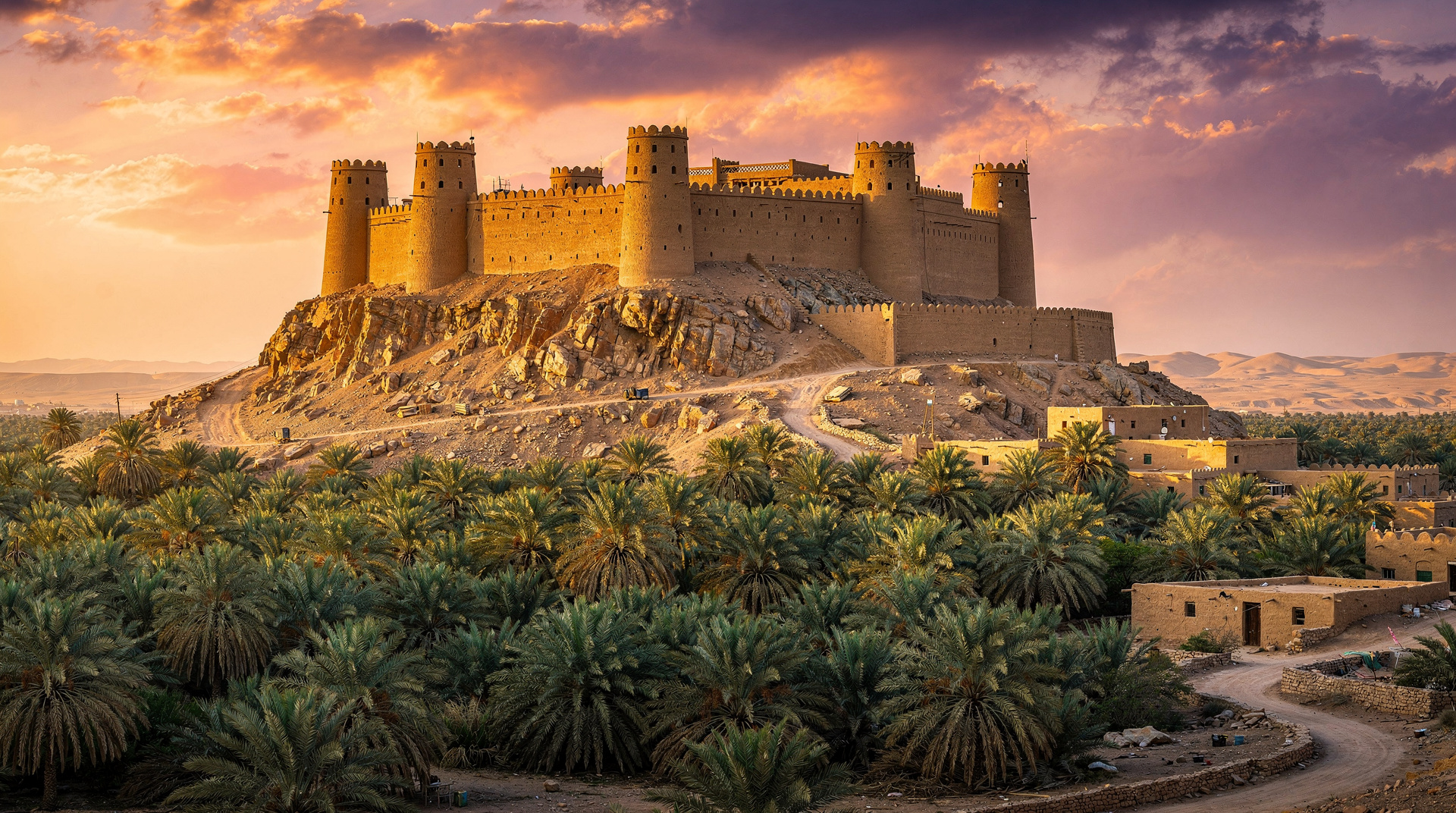
The Falaj and Bahla Fort: A UNESCO Double
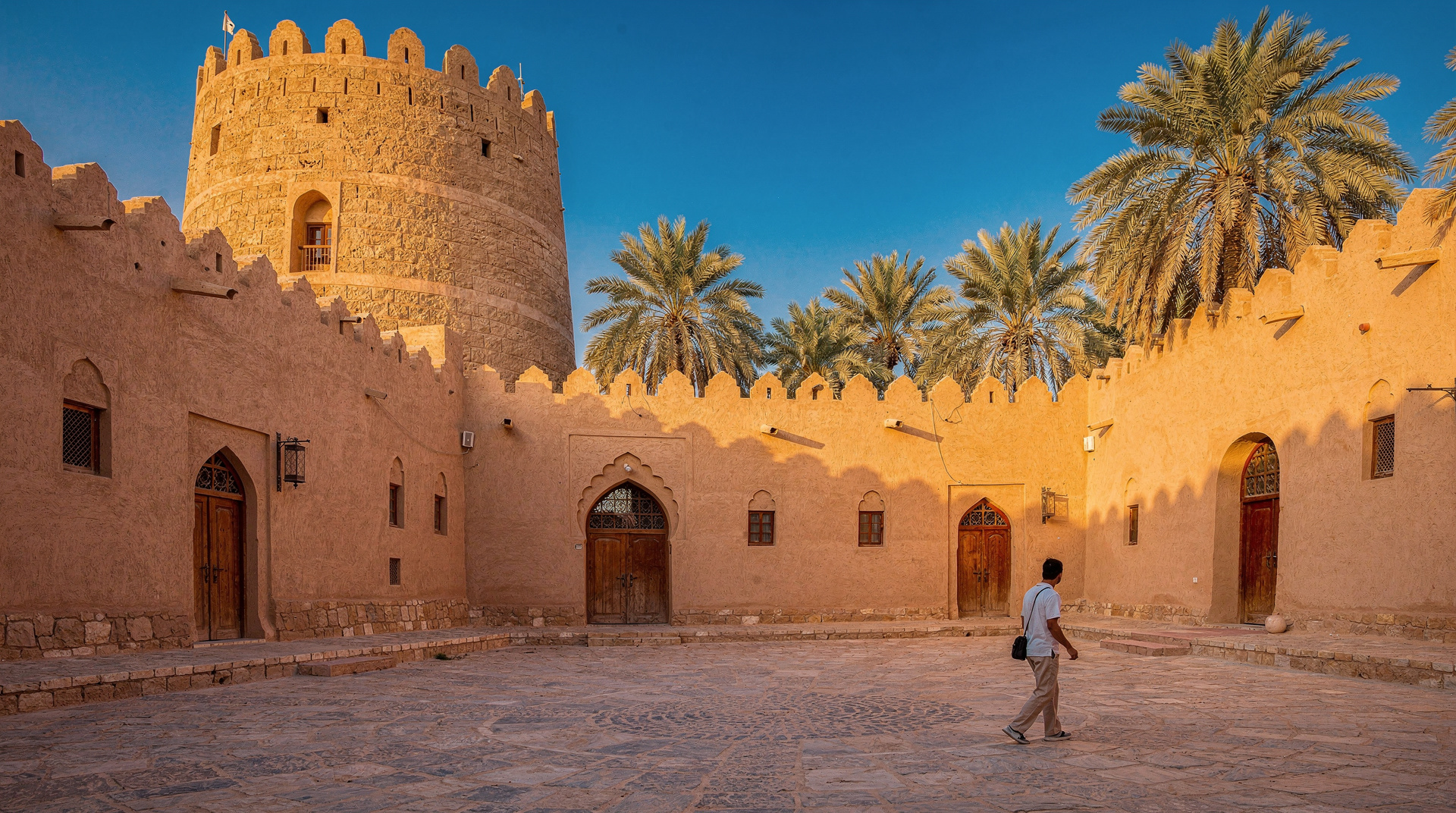
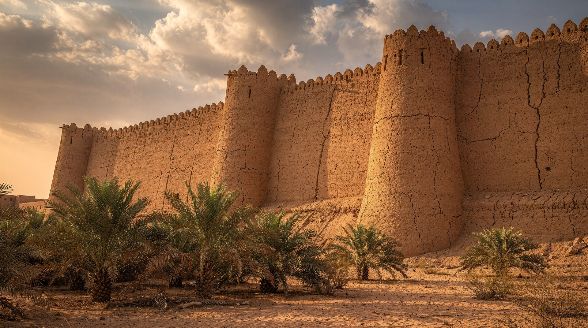
The connection between the falaj system and Bahla Fort is particularly direct and visible. The falaj channels that thread through the Bahla oasis sustain the date gardens that have surrounded and supported the fort for over 700 years. A falaj channel actually runs through the interior of Bahla Fort itself, providing the garrison with a reliable water supply that could not be cut off by besieging forces without controlling the entire upstream mountain source — a nearly impossible tactical requirement.
Walking from Bahla Fort into the surrounding date gardens and following a falaj channel through the palm groves gives a visceral sense of how closely integrated the defensive and agricultural systems of the Omani interior were. The fort did not exist independently of the agricultural society it protected; it was an element within a carefully engineered landscape where water, dates, and defence were inseparably interconnected.
Experiencing the Aflaj: What Visitors Actually See
At Nizwa
The most accessible falaj experience for most visitors is at Nizwa. After visiting the fort and souq, walk south into the date gardens that extend behind the old town. The main Daris channel is visible within a few minutes’ walk, flowing steadily through stone-lined channels between the palm trunks. In the early morning, when local farmers are managing their irrigation allocations, you may see the water diverted into individual garden plots through small earth-and-stone dams — a demonstration of the allocation system in practical operation.
The Falaj Daris Hotel near Nizwa is named for this channel and its grounds adjoin the falaj — guests can walk along it in the evenings. The falaj museum within the Nizwa area (included in some private tours) provides detailed educational context for the engineering and social history of the system.
For a private tour from Muscat that specifically includes the falaj as well as the fort and souq, this private Nizwa tour including the falaj museum provides the most thorough coverage of the system’s significance.
At Birkat Al Mawz
On the road between Muscat and Nizwa, the village of Birkat Al Mawz is named after its famous falaj — birkat al mawz means “banana pool,” referring to the banana gardens sustained by the channel. The falaj here emerges at the base of the Hajar Mountains and flows through a beautifully preserved old village of mudbrick houses. The village itself is photogenic and the falaj pools — clear, flowing water in an otherwise dry landscape — are particularly striking.
Birkat Al Mawz makes a natural stop on the Muscat-to-Nizwa road, adding around 30 to 45 minutes to the journey but providing one of the most atmospheric falaj encounters available on a day trip itinerary.
At Misfat Al Abriyeen
The village of Misfat Al Abriyeen, in the Al Hamra area west of Nizwa, is often cited as the most beautiful traditional village in Oman. Its terraced gardens, irrigated by an ancient falaj, cascade down a cliff face in a way that seems almost impossibly lush for the arid landscape. The contrast between the green gardens and the bare rock face is extraordinary. The village has maintained traditional mudbrick architecture to a degree unusual even by Omani standards.
The Falaj and Date Farming: An Inseparable Partnership
The primary beneficiary of Oman’s aflaj has always been the date palm. Oman grows more than 250 varieties of dates, a diversity that reflects thousands of years of selective cultivation sustained by reliable falaj water supply. The date palm, which requires a minimum annual water supply and a specific combination of summer heat and winter cool to fruit reliably, is perfectly suited to the Omani interior climate — but only because the falaj makes water continuously available.
Understanding the falaj system transforms the date gardens you see throughout the Omani interior from pleasant scenery into something more: evidence of a multi-millennium partnership between human engineering and agricultural biology, sustained by social institutions that have managed the resource with sufficient care to keep it productive across dozens of generations.
The dates sold in Muttrah Souq and in Nizwa Souq come from these falaj-irrigated gardens. Buying a bag of Omani dates is a small participation in a system that has been operating for 3,000 years.
Conservation Challenges
The aflaj face significant conservation challenges in the 21st century. Modern mechanised water pumping, which draws from the same underground aquifers that supply the aflaj, has in some areas reduced falaj flow or eliminated it entirely. Urban expansion over traditional falaj routes has damaged underground sections. The declining number of people who know how to perform traditional maintenance is a concern.
The UNESCO World Heritage designation has raised the profile of the system and mobilised additional government resources for maintenance and documentation. The Omani government has invested substantially in falaj restoration and the training of maintenance specialists. But the fundamental challenge — competition between traditional and modern water extraction from the same finite aquifer resources — is structural and not easily resolved.
Frequently asked questions about Aflaj Irrigation Systems: Oman’s UNESCO Water Heritage
What does the word “falaj” mean?
The word falaj (plural aflaj) comes from the Arabic root related to splitting or dividing — it refers both to the physical channel and to the concept of equitably dividing a water resource among its users. The social institution of water-right allocation is embedded in the name of the technology itself.
How old are Oman’s aflaj?
The oldest documented aflaj in Oman date to approximately the 1st millennium BCE, making the system at least 3,000 years old. Archaeological evidence suggests that the basic technology was in use in the Omani interior before the development of written records in the region. Some scholars argue for an even older origin.
Is the falaj system unique to Oman?
No, but Oman has the most extensive and best-preserved system in Arabia. The same technology — called qanat in Persian — appears across Iran, Afghanistan, Central Asia, North Africa, and the Iberian Peninsula, wherever Islamic civilisation and the need for water management in arid environments coincided. The Omani system is distinctive in its scale, its continuity, and the sophistication of its traditional social governance.
Can I visit an active falaj?
Yes. The easiest access is at Nizwa — the Daris channel is visible from the date gardens a short walk from the fort. Birkat Al Mawz on the Muscat-Nizwa road is particularly accessible and photogenic. Misfat Al Abriyeen offers the most spectacular visual context. A guided tour that specifically includes the falaj museum in the Nizwa area provides the most educational experience.
Are the UNESCO-listed aflaj safe to drink from?
The water in the aflaj is not treated for drinking and visitors should not drink from the channels. The water is used for agricultural irrigation. The channels also serve as washing areas for some communities. Treat the water with the same respect as any natural water source in a developing country context.
How does the falaj relate to the forts I am visiting?
The connection is direct and historically important. Most major Omani forts were built to protect not just population centres but specifically the water sources and falaj channels that sustained them. Control of the water source meant control of the settlement that depended on it. In many cases, forts were positioned precisely to command the upstream section of a falaj. The falaj also runs through forts themselves (notably Bahla) providing siege-proof water supply for garrisons.